
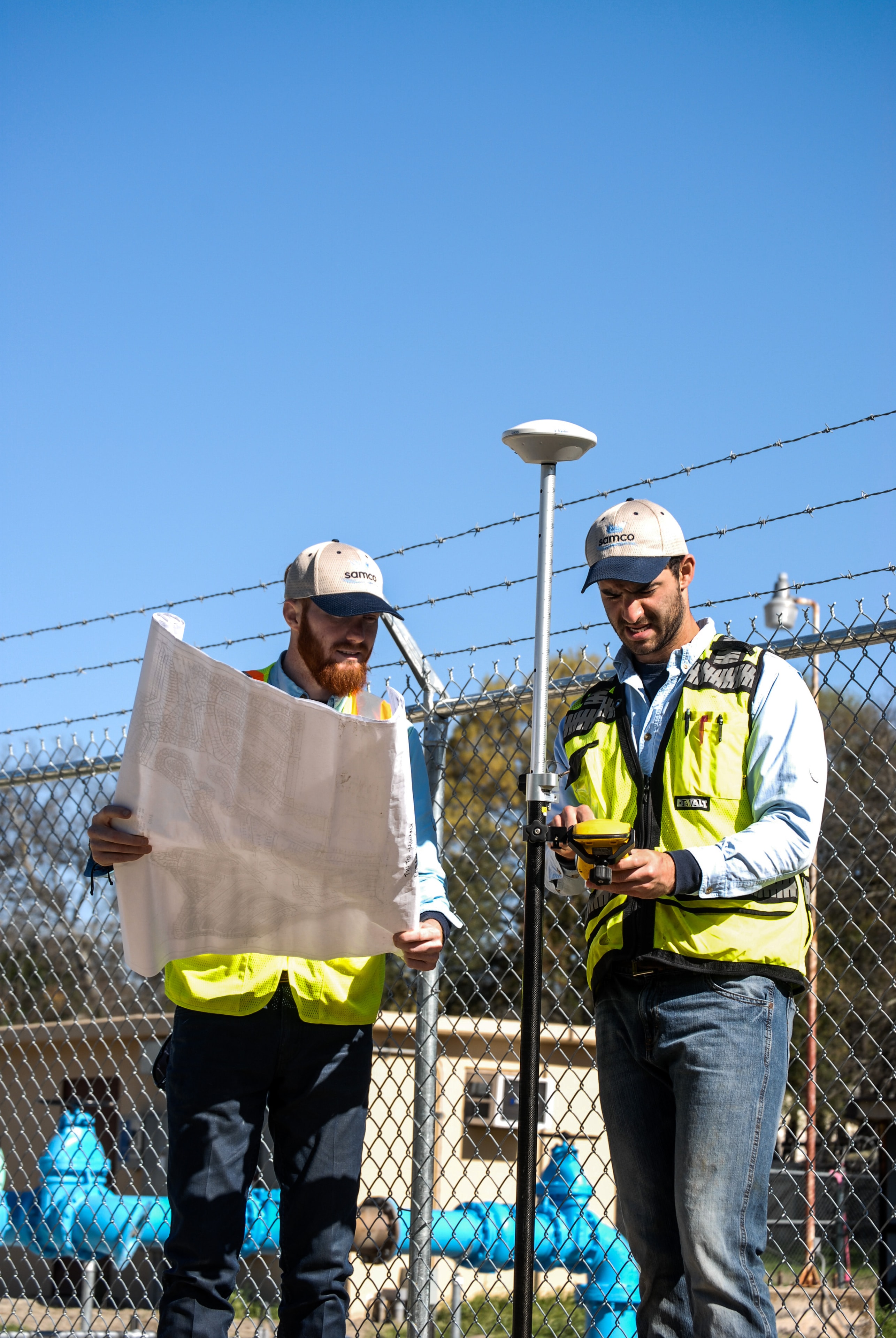
Field Data Collection & GIS Services
SAMCO builds the infrastructure data foundation that utilities need to manage assets, plan capital improvements, and qualify for state and federal funding programs.
Infrastructure Mapping & Asset Management
Many Texas water utilities operate with incomplete or outdated system records — paper maps, aging as-builts, and institutional knowledge that walks out the door when experienced staff retire. Without accurate data, it's difficult to plan maintenance, prioritize capital projects, or meet the documentation requirements of modern funding programs.
SAMCO's Data Collection & GIS services provide a verified, GPS-accurate view of your water system. From fire hydrant and valve inventories to complete distribution system mapping, we deliver reliable data that supports daily operations, asset management, infrastructure planning, and future funding opportunities.
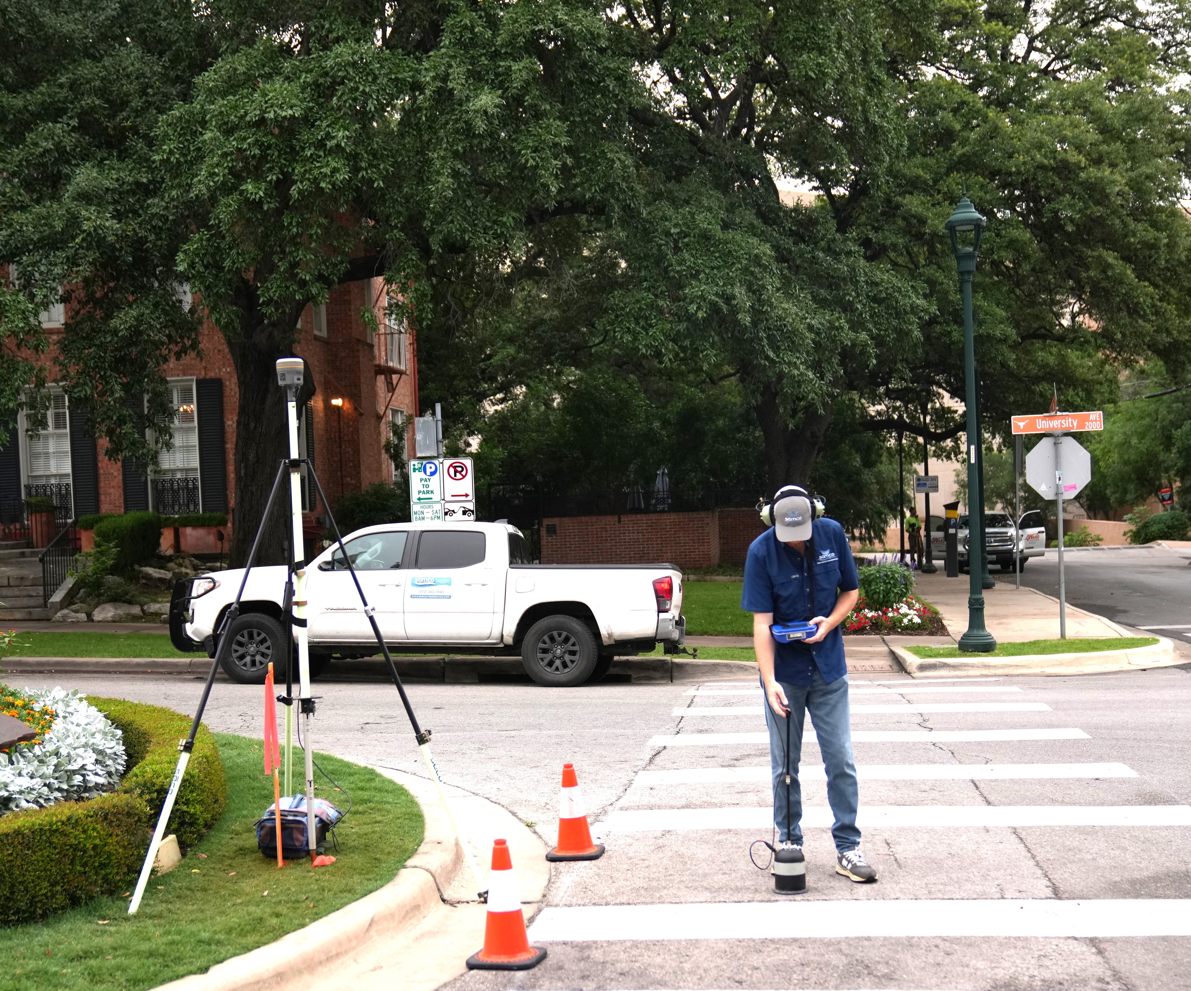
What We Collect and Deliver
GPS Infrastructure Inventory
Field-verified GPS coordinates and condition data for hydrants, valves, meters, service connections, and other distribution system assets. Collected to sub-meter accuracy using professional-grade equipment.
Distribution System Mapping
Complete mapping of water mains, service lines, and include water system data — including pipe material, diameter, installation year, and condition notes where observable. Delivered as GIS-ready shapefiles.
Asset Condition Assessment
Field observation and documentation of asset condition, including visible deterioration, maintenance needs, and access issues. Supports capital improvement planning and asset management programs.
Meter & Service Inventory
Systematic inventory of customer meters and service connections, including GPS location, meter size, material, and read type. Supports billing accuracy and system performance analysis.
Valve & Hydrant Exercising Records
Documentation of valve and hydrant locations, condition, and operability — including turn counts and any maintenance flags identified during field work.
GIS-Ready Data Deliverables
All collected field data is processed and delivered as GIS-compatible shapefiles — structured, attributed, and ready for direct import into your asset management or mapping platform.
Data That Opens Doors
Accurate, verified infrastructure data is increasingly required — not just recommended — for water utilities seeking state grants, federal funding, and private financing. SAMCO's field data collection services are specifically designed to produce the documentation that supports funding applications and asset management compliance requirements.
State & Federal Grants
Verified infrastructure data supports grant applications by providing the documented evidence of system conditions, needs, and priorities that funding agencies require.
Asset Management Programs
Utilities pursuing financial assistance are increasingly required to demonstrate asset management capabilities. SAMCO's infrastructure inventory provides the foundation for a compliant asset management program.
Capital Improvement Planning
Verified field data supports defensible CIP prioritization — giving utilities the documentation to justify project selection to boards, regulators, and funding agencies.
Build the Data Foundation Your System Needs
Contact SAMCO to discuss your system's data gaps and how a field data collection project can support your planning, compliance, and funding goals.